
Google Earth Studio
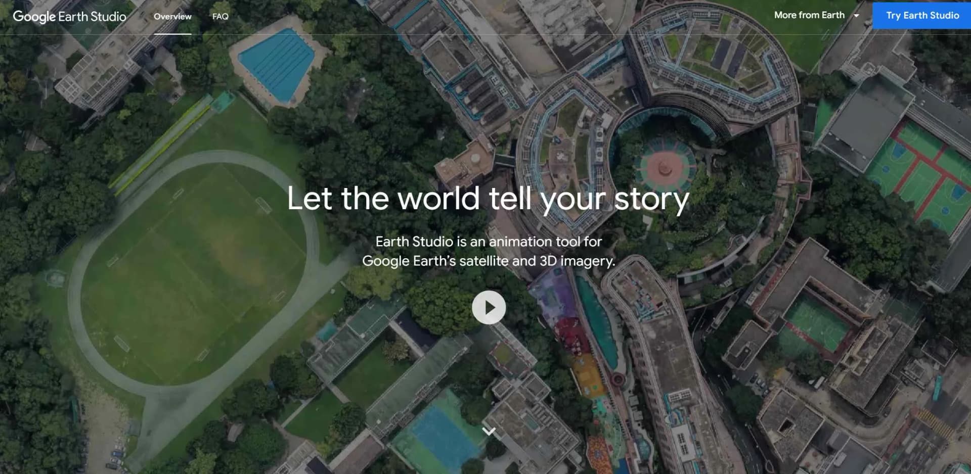
Animate Earth's imagery for cinematic storytelling with Google Earth Studio.
Key Takeaways
- What it is
- Animate Earth's imagery for cinematic storytelling with Google Earth Studio.
- Best for
- Keyframe Animation
- Quick-Start Templates
- Animatable Effects
- Rating
- 4.7/5
What is Google Earth Studio?
Google Earth Studio is an advanced animation tool that utilizes Google Earth's extensive satellite and 3D imagery to create stunning, cinematic animations and videos. It provides creators, educators, and professionals with the ability to tell stories with a geographical context, leveraging the visual power of our planet's landscapes and cityscapes.
Google Earth Studio seamlessly integrates real-world geography with professional animation tools, offering a groundbreaking resource for creating geographic visual content. Its ability to animate real-world phenomena adds a level of realism that enhances storytelling.
Google Earth Studio is a phenomenal tool that brings the world's geography to life, enabling creators to craft visually rich narratives with ease. Its integration with Google Earth's imagery and Adobe After Effects, coupled with its user-friendly interface, makes it an indispensable asset for producing high-quality geographic animations and videos. Whether you're an educator, filmmaker, marketer, or geography enthusiast, Google Earth Studio offers an unmatched advantage in creating engaging and informative visual content.
Who is Using Google Earth Studio?
Filmmakers and Animators
For creating dynamic backdrops and establishing shots in films and animations.
Broadcast Media
Used to enhance news stories with visual context and geographical imagery.
Educators
Employed as a teaching tool to make geography and history lessons more engaging and interactive.
Marketing Professionals
Utilized to craft compelling visual narratives in promotional materials and advertisements.
Uncommon Use Cases
Urban planners use it for visualizing city development projects, while environmentalists employ it to illustrate the impact of climate change.
Key Features
Rating Breakdown
Pricing Plans
Free Access
- Google Earth Studio is available for free
- But access must be requested via a Google account
Google Earth Studio Use Cases
Create animated map sequences
Animate camera movements over Google Earth satellite and 3D imagery.
Outcome: A rendered image sequence or still image.
Build flyovers and orbital shots
Use Quick Start templates such as Zoom-To, Point-to-Point, Orbit, and Spiral.
Outcome: Editable geographic camera animations.
Visualize geographic data
Import KML or KMZ overlays and display points, polygons, placemarks, and other supported elements.
Outcome: Geographic annotations layered onto an animation.
Export camera data for compositing
Include 3D tracking data when rendering.
Outcome: Camera information usable in Adobe After Effects.
Create VR or interactive-video imagery
Render 360-degree spherical, equirectangular image sequences.
Outcome: Panoramic imagery for VR headsets or interactive video.
Workflow Ideas with Google Earth Studio
Create a geographic flyover
- 1Choose a Quick Start project such as Zoom-To or Point-to-Point
- 2Adjust camera keyframes, duration, and project settings
- 3Render the animation as an image sequence
Add geographic data to an animation
- 1Import a KML or KMZ file from local storage or Google Drive
- 2Control overlay visibility and supported map elements
- 3Render the project with the overlay included
Prepare footage for compositing
- 1Animate the Earth Studio camera and map view
- 2Enable the 3D Tracking Data export option
- 3Import the camera data into Adobe After Effects
How Google Earth Studio fits into your stack
Google Chrome Compatibility
Designed to work with the desktop version of Google Chrome.
Adobe After Effects Integration
Smooth workflow with Adobe After Effects for detailed post-production work.
Google Account Integration
Requires a Google account for access, ensuring seamless integration with other Google services.
Data Export
Ability to export project data for use in various post-production environments.
Pros
- +Immersive Storytelling: Provides a unique platform for creating compelling narratives with a geographic element.
- +Ease of Use: Intuitive interface and templates make it accessible for beginners and professionals alike.
- +High-Quality Imagery: Leverages Google Earth's high-resolution satellite and 3D imagery for stunning visuals.
- +Free to Use: Available at no cost, making it accessible for educators and content creators on a budget.
Cons
- −Browser Limitations: Works only with the desktop version of Google Chrome, limiting accessibility for users of other browsers.
- −Learning Curve: While user-friendly, mastering all features may take some time.
- −Export Options: Limited to Adobe After Effects for camera export, which may not suit all users' workflows.
Limitations & when to consider alternatives
Known limitations
- Chrome-only rendering. Earth Studio currently requires Google Chrome because animation rendering relies on Chrome-only APIs.
- Mac and Windows support only. The documented operating-system support covers Mac and Windows.
- WebGL and hardware acceleration required. The browser must support WebGL, and Chrome hardware acceleration should be enabled.
- Internet speed affects rendering. Earth Studio loads texture and 3D data dynamically; slower connections can substantially increase render times.
- Attribution is mandatory. Rendered content must visibly credit Google Earth and applicable third-party imagery providers.
Look elsewhere when
- You need a native mobile application.
- You need a standalone desktop installer.
- You need advanced KML compatibility.
- You need commercial use without attribution.
How to Use Google Earth Studio
- 1
Extensive documentation and tutorials for Google Earth Studio are available on the official website, covering everything from basic setup to advanced animation techniques.
Who is Google Earth Studio For?
Motion professionals
The interface is modeled on industry-standard animation tools for professional animation workflows.
Researchers
Earth Studio can create attributed geospatial stills and animations for research content.
Educators
KML overlays and animated geographic imagery support informational and educational projects.
Filmmakers
The tool creates cinematic stills, animation sequences, and 3D camera exports.
Nonprofit organizations
Google lists nonprofit use among permitted attributed content applications.
Frequently Asked Questions
Who is Google Earth Studio for?
It is a web-based animation tool for Google Earth imagery, designed for creating still and video content.
How do I get access?
You need a Google account, must use Google Chrome, and request access through Google's form.
Can Earth Studio be used commercially?
Google currently does not offer a license for commercial use of Google Earth imagery through Earth Studio.
What types of content can I create?
With proper attribution, Google lists research, education, film, and nonprofit uses.
Why is Earth Studio Chrome-only?
Animation rendering relies on Chrome-only APIs.
Why might KML files not work properly?
Moderately sized KML files and simple features generally work, while some advanced KML features are unsupported.
Community reviews
Be the first to share your experience.
Sign in to leave a review for Google Earth Studio.
Google Earth Studio Alternatives
Looking for alternatives to Google Earth Studio? Here are similar tools in the same category:
Learn to Master Google Earth Studio
With Skill Leap courses
Get in-depth training on Google Earth Studio and 50+ other AI tools with our expert-led video courses.
Start 7-Day Free Trial