Atlas focuses on making maps, spatial analysis, and geospatial apps approachable for non‑GIS specialists through a browser based interface and AI assistance. Users can upload spatial data, style it, run analysis, and share results as interactive maps or dashboards without installing traditional desktop GIS software. Its AI layer, led by the Navi assistant and AI data fields, lets users describe the maps or derived attributes they want in plain language, which Atlas then turns into styled visualizations and new columns in their datasets.
Key Features:
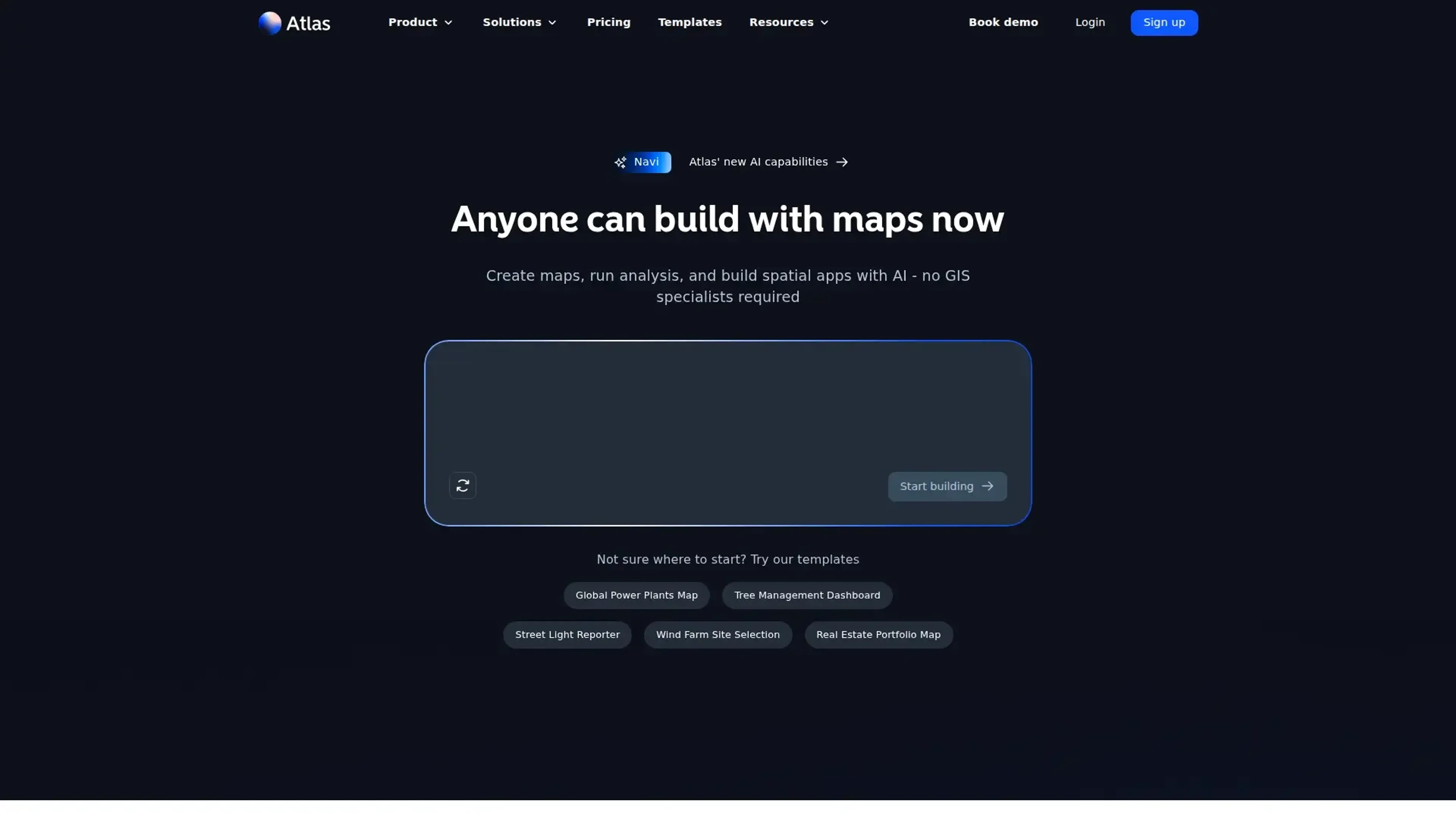
Conversational map building (Navi): Users describe a map or analysis in natural language and Atlas configures layers, styling, and filters automatically.
AI data fields: Atlas can create new attributes from existing data based on a text prompt, useful for tagging, categorization, or derived metrics.
Browser based GIS and collaboration: Multiple editors can work on the same map, with changes synced in real time and projects shared via links or embeds.
50+ spatial analysis tools: Includes buffers, overlays, routing, density and proximity analysis, plus domain specific workflows like wind power estimation or solar exposure.
Interactive dashboards and widgets: Map based dashboards with charts, filters, buttons, and download actions turn projects into lightweight spatial applications.
Pros
Low barrier to entry: Natural language workflows and a visual builder let non‑specialists create serious GIS outputs without months of training.
Strong collaboration model: Browser based projects with real time editing, comments, and unlimited free viewers on higher tiers suit team environments.
Rich data and integration story: Supports 30+ spatial formats, open data like OpenStreetMap, private Google Sheets, PostgreSQL, and PostGIS.
Template driven workflows: Ready made templates for site selection, asset management, territory planning, and environmental analysis help users get started quickly.
Cons
Still a SaaS only tool: Cloud reliance means no real offline mode for field conditions with poor connectivity.
Advanced GIS users may hit limits: Deep specialists may still prefer classic power user stacks for highly bespoke workflows.
Limited direct support channels: Support is by email and self serve resources rather than phone or always on live chat.
Who is Using Atlas?
Real estate and property teams: Evaluating portfolios, mapping assets, and assessing sites with travel time, zoning, and amenity overlays.
Energy and infrastructure firms: Planning wind farms, solar arrays, and grid assets with domain specific spatial analysis.
Climate and sustainability analysts: Combining environmental datasets to study exposure, risk, and mitigation scenarios.
Public sector and urban planners: Managing trees, streetlights, public works, and civic reporting dashboards.
Retail and franchise operators: Designing territories, store catchments, and location strategies with travel time and demographic analysis.
Uncommon Use Cases: Used by universities and bootcamps to teach applied GIS with a gentler learning curve; adopted by NGOs and disaster volunteers for quick situational mapping during emergencies.
Pricing:
Starter: $0 per month; includes up to 3 projects, 3 editors, 1 GB file storage, and up to 5,000 geocoding runs.
Pro: $29 per month per seat; includes up to 10 projects, 10 GB file storage, up to 5,000 geocoding runs, export to image, PDF, and GeoJSON, custom basemaps, and logo-free embedding.
Team: $89 per month per full seat; includes everything in Pro plus unlimited projects, unlimited free viewers, 50 GB file storage, up to 25,000 geocoding runs, shared datasets, custom colors and icons, project-level permissions, and password-protected sharing.
Enterprise: Custom pricing; includes everything in Team plus unlimited file storage, training and onboarding, a dedicated success manager, white-label embeds, default project permissions, early feature access, and invoice billing.
Disclaimer: Please note that pricing information may not be up to date. For the most accurate and current pricing details, refer to the official Atlas website.
What Makes Atlas Unique?
Atlas leans hard into geospatial AI rather than treating it as a bolt on feature. Conversational map building, AI generated data fields, and smart cartographic choices let subject matter experts spend more time on questions instead of menus and symbology. Combined with a modern browser based GIS core, live collaboration, and strong database and spreadsheet connections, it gives teams a credible way to modernize spatial workflows without re training everyone as GIS professionals.
How We Rated It:
Accuracy and Reliability: 4.4/5
Ease of Use: 4.3/5
Functionality and Features: 4.6/5
Performance and Speed: 4.2/5
Customization and Flexibility: 4.1/5
Data Privacy and Security: 4.0/5
Support and Resources: 3.9/5
Cost-Efficiency: 4.5/5
Integration Capabilities: 4.1/5
Overall Score: 4.2/5
AI Mapping That Makes Spatial Work Feel Approachable:
Atlas gives teams a practical way to bring serious spatial analysis, map based dashboards, and data rich storytelling into everyday decision making without forcing everyone onto heavyweight desktop GIS. Its AI assistant, friendly browser workspace, and expanding catalog of integrations and templates make it especially attractive for organizations that need credible spatial tools but lack a bench of GIS specialists. For many data driven teams, it can be the bridge between spreadsheets and full geospatial maturity.