GeoEvident
Pinpoint photo locations and generate audit-ready reports.
Key Takeaways
- What it is
- Pinpoint photo locations and generate audit-ready reports.
- Best for
- AI visual geolocation engine
- Evidence-backed similarity views
- Case-centric workflow and reporting
- Rating
- 4.2/5
What is GeoEvident?
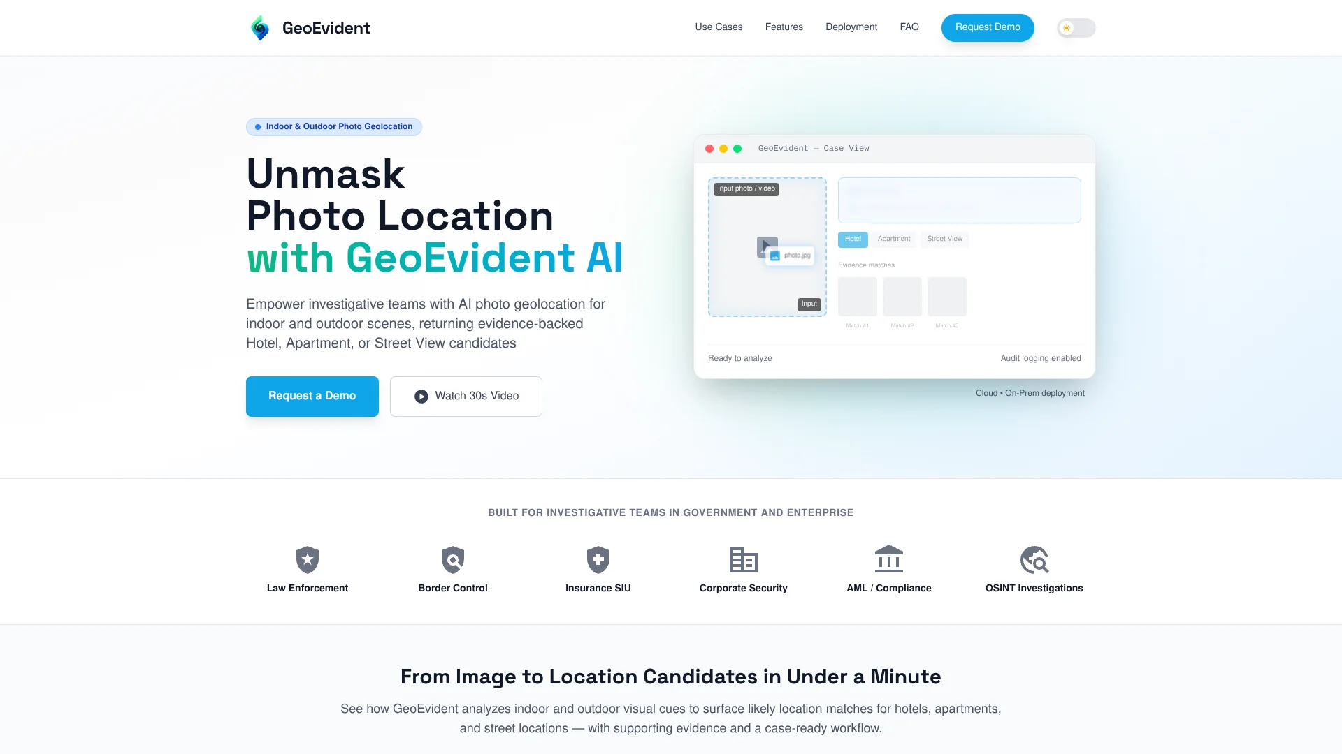
GeoEvident is an AI geolocation intelligence platform for investigative and risk teams that need to work out where photos and video frames were captured. It focuses on indoor and outdoor scenes, returning ranked hotel, apartment, and street-level candidates alongside visual evidence that analysts can review. The tool combines an AI vision engine with a case workflow that supports notes, audit trails, and exportable reports, and can be deployed either in managed cloud environments or fully on‑premise, including air‑gapped setups.
GeoEvident stands out by going beyond city or region guesses and concentrating on concrete, investigation-friendly outputs such as specific hotels, room layouts, apartments, and street segments. The platform is shaped around evidence and auditability, not just prediction: every candidate is backed by visible visual matches, case logs, and exportable reports that can slot into formal investigative and compliance workflows. Combined with deployment options that include air‑gapped environments and strict access controls, it speaks directly to the needs of government, financial crime, and corporate security teams that cannot send sensitive imagery to generic consumer tools.
Who is Using GeoEvident?
Law enforcement and public safety agencies
Supporting investigations that rely on identifying hotels, apartments, or streets from seized imagery.
Border control and migration authorities
Checking location claims and materials linked to border crossings or migration routes.
Insurance SIU and fraud teams
Validating that claim photos align with declared locations and properties.
Corporate security and financial crime units
Assisting AML and compliance staff when imagery is part of due diligence or risk reviews.
Uncommon Use Cases
Suitable for academic labs studying photo geolocation workflows; attractive to NGOs documenting conflict or human rights imagery that later needs verifiable location analysis.
Key Features
Rating Breakdown
Pricing Plans
Enterprise licensing only
- GeoEvident is accessed through organization-level agreements
- Typically following a demo and pilot rather than instant signup
Cloud deployment plans
- Pricing is likely structured around annual subscriptions that include hosting
- Updates
- Support for investigative teams
On-premise and air-gapped deployments
- Usually sold as tailored licenses with implementation assistance for government and high-sensitivity environments
GeoEvident Use Cases
Hotel and short-stay identification
Match interior layouts, furnishings, and distinctive details to identify a hotel property or room type.
Outcome: A likely hotel property and supporting visual evidence.
Apartment and rental verification
Compare imagery with claimed apartment or rental listings and surface likely building candidates.
Outcome: Location candidates for follow-up verification.
Street-level and outdoor geolocation
Match streetscapes, signage, architecture, and urban details.
Outcome: Likely street-level locations and nearby candidates.
OSINT and investigative journalism
Locate where images or video were captured to support story and source verification.
Outcome: Evidence supporting geospatial fact-checking.
Insurance claims validation
Cross-check claim imagery against location-linked visual sources.
Outcome: Potential inconsistencies and reduced manual verification workload.
Workflow Ideas with GeoEvident
GeoEvident For High-Stakes, Evidence-Backed Geolocation Workflows
- 1GeoEvident offers a focused toolset for teams that need to turn photos and video frames into defendable location intelligence, particularly in investigations where an incorrect guess is not an option. Its combination of an AI vision engine, transparent evidence views, case management, and strict deployment controls makes it a strong candidate for law enforcement, insurance, financial crime, and OSINT professionals who care as much about auditability as they do about speed. For organizations that regularly ask “where was this taken?” and must show their work to others, GeoEvident provides a specialized, security-conscious answer.
How GeoEvident fits into your stack
Browser
GeoEvident is accessed through its web application, where investigators upload photos or video frames, review ranked location candidates, and generate evidence-ready case reports.
Pros
- +Investigation-ready design: Built for law enforcement, compliance, and corporate investigators rather than casual geolocation enthusiasts.
- +Indoor and outdoor strength: Handles hotel rooms and apartments as well as street scenes and public venues.
- +High transparency: Ranked candidates with visible evidence help analysts validate or challenge AI suggestions instead of accepting a black box answer.
- +Deployment flexibility: Cloud and on‑premise or air‑gapped options fit strict data residency and security requirements.
- +Case reporting: One-click style report generation reduces manual documentation work and supports consistent record keeping.
Cons
- −No instant self-serve access: Teams must request a demo and go through a sales or vetting process.
- −Enterprise focus only: Best suited to organizations with formal investigative workflows, not individual OSINT hobbyists.
- −Dependent on visual cues and coverage: Generic interiors or very obscure locations will be harder to geolocate reliably.
Limitations & when to consider alternatives
Known limitations
- Results are not guaranteed to be exact. Accuracy depends on distinctive visual cues such as architecture, signage, landmarks, lighting, and camera perspective.
- Human verification remains necessary. GeoEvident returns ranked candidates and supporting matches for analysts to review rather than treating results as sole proof.
- Access is controlled. The service is intended for verified organizations and vetted professionals and may require KYB/KYC review.
- Not for live tracking. The product analyzes photos and extracted video frames, not real-time GPS locations or live surveillance.
- Customer controls lawful data use. Customers remain responsible for having the appropriate authority and lawful basis to process submitted images and personal data.
Look elsewhere when
- You need live GPS tracking or real-time surveillance.
- You need a public, anonymous upload tool.
- You need an official mobile app or browser extension.
- You need exact-location guarantees without analyst corroboration.
How to Use GeoEvident
- 1
Request access or start a trial
Create an account for the available free searches or request a secure demo for organizational access.
- 2
Create an investigative case
Organize the analysis around a case so uploads, findings, notes, and audit activity remain traceable.
- 3
Upload a photo or video
Submit indoor or outdoor imagery; video can be analyzed through extracted frames.
- 4
Review ranked candidates
Examine Hotel, Apartment, or Street View candidates and compare the supporting visual matches.
- 5
Add analyst notes
Record observations and contextual findings for internal review and evidence documentation.
- 6
Export the case report
Generate a structured, exportable report containing key findings, evidence matches, analyst notes, and the audit trail.
Who is GeoEvident For?
Law enforcement
Supports investigative photo geolocation and evidence-ready reporting.
Border control
Provides location verification from imagery for controlled investigative workflows.
Insurance SIU teams
Helps cross-check claim imagery against location-linked visual sources.
Corporate security and AML/compliance teams
Supports risk investigations, due diligence, and traceable location verification.
OSINT investigators and investigative journalists
Helps verify image locations, sources, claims, and geospatial facts.
Frequently Asked Questions
What types of images does GeoEvident work with?
It supports indoor and outdoor photos, including hotel and apartment interiors, public venues, and street scenes. Video files or clips can be analyzed through extracted frames.
What results do I get?
Results are ranked candidates mapped to Hotel, Apartment, or Street View contexts, with supporting visual matches for analyst validation.
Can GeoEvident analyze social-media media?
Yes. It can work with images and video frames from open platforms and social media, subject to organizational policies and legal basis.
Is GeoEvident a real-time tracking system?
No. It is designed for investigative and forensic analysis of imagery and extracted frames, not live GPS tracking.
How does GeoEvident handle sensitive data?
Customers can deploy it in Cloud or On-Premise environments. Access is controlled through RBAC and actions can be recorded in audit logs.
Can GeoEvident be deployed on-premise or air-gapped?
Yes. On-premise options include workflows compatible with restricted and air-gapped environments.
Community reviews
Be the first to share your experience.
Sign in to leave a review for GeoEvident.
GeoEvident Alternatives
Looking for alternatives to GeoEvident? Here are similar tools in the same category: