
Danti
Effortlessly search and analyze extensive Earth data with precision.
Key Takeaways
- What it is
- Effortlessly search and analyze extensive Earth data with precision.
- Pricing
- Freemium
- Best for
- Advanced Search Capabilities
- Wide Range of Data Sources
- User-Friendly Interface
- Rating
- 4.6/5
What is Danti?
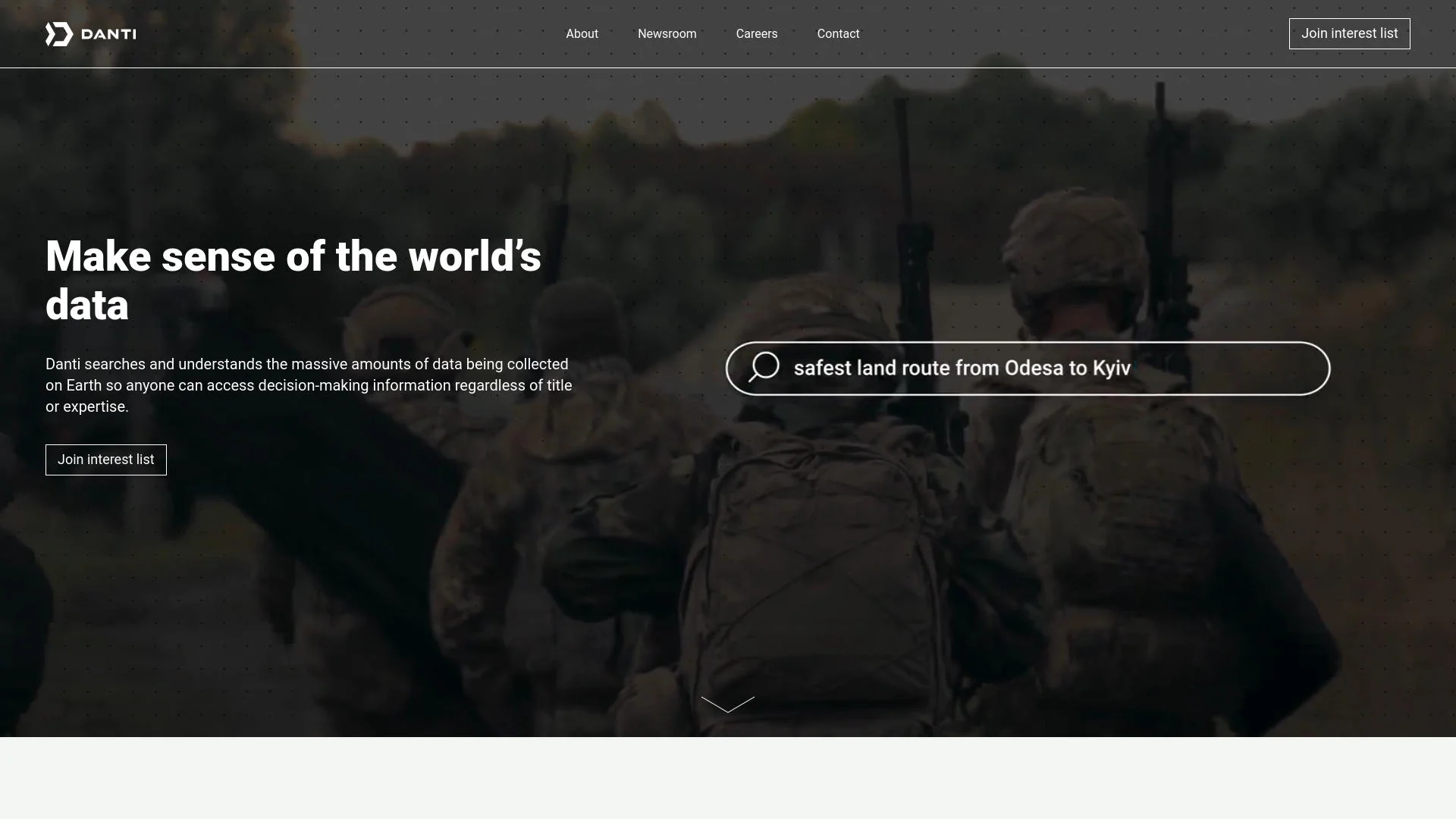
Danti is a groundbreaking tool designed to leverage the vast potential of Earth observation data. As an advanced search engine, Danti simplifies the process of navigating extensive collections of Earth data, making it accessible and usable across various applications. It serves professionals in fields such as defense, intelligence, real estate, and insurance, as well as data enthusiasts, by transforming complex data into actionable insights.
Danti stands out by democratizing access to sophisticated Earth observation data through a user-friendly platform. Its ability to provide expert-level data analysis with minimal geospatial expertise required makes it particularly valuable across various industries.
Danti excels in making Earth observation data accessible and usable, offering a sophisticated tool for a wide range of users. Its capacity to provide expert-level data analysis with simple input is a notable advantage, making it an essential tool for professionals in defense, real estate, insurance, and more. Danti transforms how we interact with and leverage Earth data, providing invaluable insights across various sectors.
Who is Using Danti?
Defense & Intelligence Agencies
Access critical data without needing direct geospatial analyst support.
Real Estate Professionals
Gain insights into properties, neighborhoods, and geographical areas.
Insurance Companies
Assess risk and understand property details comprehensively.
Infrastructure Companies
Manage and interpret large internal data sets.
Uncommon Use Cases
Educational institutions for research; Environmental scientists for tracking land use and environmental conditions.
Key Features
Rating Breakdown
Pricing Plans
Free Tier
Free
- Basic features with limited data access
Pro Tier
- Offering full access to all data sources and advanced analytical tools
Danti Use Cases
Wildfire analysis
Search wildfire events and apply fire-extent, population, weather, and points-of-interest analysis layers.
Outcome: Understand fire impacts and potentially affected populations and infrastructure.
Maritime analysis
Search ships near ports, integrate AIS information, analyze port activity, and plot ship routes.
Outcome: Review detailed maritime results with interactive maps.
Multi-location intelligence
Import coordinate or address lists, configure search parameters, and run a query across multiple locations.
Outcome: Analyze many locations simultaneously.
Property and insurtech research
Ask questions about properties, neighborhoods, cities, and counties using integrated location data.
Outcome: Understand properties and surrounding areas.
Infrastructure data research
Search internal datasets alongside outside-world content to answer infrastructure-related questions.
Outcome: Make more sense of large internal and external datasets.
Workflow Ideas with Danti
Recurring location monitoring
- 1Choose a location and search parameters
- 2Set the run time and interval
- 3Enable email notifications and historical backfilling
Bulk location investigation
- 1Upload a CSV or TSV containing coordinates or addresses
- 2Confirm locations on the preview map
- 3Enter a query and configure search parameters
Map-based semantic search
- 1Draw a polygon, circle, or point on the map
- 2Enter a natural-language question about the area
- 3Review related news, social media, and imagery results
How Danti fits into your stack
Cloud-Based Solutions
Fully compatible with major cloud platforms for scalability and flexibility.
API Access
Robust API options for custom integrations with other software tools.
Multi-Platform Support
Accessible on various devices and operating systems.
Security Features
Advanced security protocols to ensure data integrity and confidentiality.
Pros
- +Enhanced Data Accessibility: Streamlines the process of accessing and analyzing complex Earth data.
- +Time Efficiency: Reduces the time required to locate and utilize relevant data.
- +Cost-Effective: Eliminates the need for extensive data management infrastructure and specialized personnel.
- +Expert-Level Precision: Allows users with minimal geospatial expertise to perform advanced data analysis.
Cons
- −Complexity of Data: The sheer volume of available data can be overwhelming without adequate training.
- −Dependency on Technology: Requires robust internet connectivity and technological infrastructure.
- −Limited by Current Technology: Some advanced features may still be in development.
Limitations & when to consider alternatives
Known limitations
- Dataset availability varies by organization. The data sources and datasets available to a user depend on their organization and account.
- Some data requires select-account access. Airborne data and AIS maritime information are listed as available only for select accounts.
- Specialized maritime analysis is account-dependent. Advanced shipping and port-analysis capabilities are documented for select accounts.
- Some analyses complete asynchronously. Maritime analysis can send an email notification when processing is complete rather than returning results immediately.
Look elsewhere when
- You need a native mobile app.
- You need a browser extension.
- You need named third-party integrations such as Slack, Zapier, or Notion.
How to Use Danti
- 1
Danti provides a range of tutorials on its website, covering everything from basic setup to advanced data analysis techniques.
Who is Danti For?
Defense and intelligence organizations
Danti helps users access and share geospatial intelligence without making special requests to analysts or partners.
Mission planners and operations teams
Built-in analysis agents provide rapid situational awareness without requiring GIS tools.
Policy and decision-support staff
Danti provides insights that help assess risks and outcomes.
Emergency managers and first responders
The platform provides real-time, location-specific updates for disaster-response work.
Infrastructure and environmental planners
Danti helps planners use trusted data for long-term infrastructure and environmental strategies.
Frequently Asked Questions
What is Danti?
Danti translates user questions into searches across government, commercial, and open-source data sources, including imagery, news, social media, and specialized datasets.
What kinds of data sources does Danti use?
Sources include NGA imagery, NASA fire information, port information, government news, population and climate data, SAR and electro-optical imagery, AIS, RF information, commercial news, and social media.
Can Danti search multiple locations at once?
Yes. Users can paste coordinates or addresses and upload CSV or TSV files with location data for bulk searches.
Can users upload their own files?
Yes. Danti supports PDFs, PowerPoint slides, other documents, GeoJSON files, and CSV or TSV location data.
Can searches run automatically?
Yes. Recurring searches can run on schedules with configurable run times, intervals, email notifications, and historical data backfilling.
Does Danti support collaboration?
Users can organize searches in folders, share them with email invitations, and assign view-only, editing, and additional sharing permissions.
Community reviews
Be the first to share your experience.
Sign in to leave a review for Danti.
Danti Alternatives
Looking for alternatives to Danti? Here are similar tools in the same category:
Learn to Master Danti
With Skill Leap courses
Get in-depth training on Danti and 50+ other AI tools with our expert-led video courses.
Start 7-Day Free Trial